CHANNEL ISLANDS MPA NETWORK
Channel Islands
NETWORK OF MARINE PROTECTED AREAS
Working in partnership with the California Department of Fish and Wildlife (CDFW), the Channel Islands MPA network was surveyed annually from 2003 through 2009. Within this unique set of MPAs, MARE and CDFW developed the data collection and video post-processing protocols that have been used throughout California’s MPA networks since 2004. In 2014 and 2015, MARE returned to the Channel Islands to document changes that had occurred since the MPAs were implemented.

California implemented the first set of Marine Protected Areas (MPAs) in nearshore waters around the northern Channel Islands in 2003. These MPAs serve as part of a much larger network of MPAs that have since been established statewide. California’s full network of MPAs was established to operate synergistically to meet the objectives that a single reserve might not, helping to ensure the long-term sustainability of marine populations and act as a living laboratory to better understand human impacts on marine life. In 2006 and 2007, NOAA expanded this network of thirteen MPAs into the Channel Islands National Marine Sanctuary’s deeper waters, making them the largest integrated system of MPAs in the continental United States.
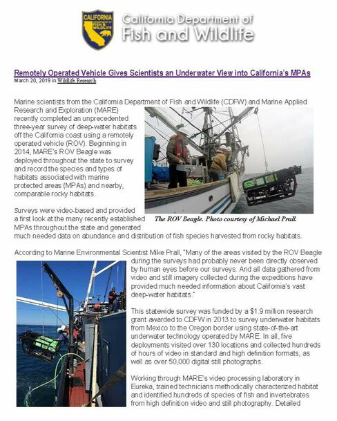
Historically, marine habitats around the Channel Islands were well surveyed by scuba divers to a depth of 20 meters, but the deeper waters were poorly studied. Together, the California Department of Fish and Wildlife (CDFW), the Channel Islands National Marine Sanctuary (CINMS), The Nature Conservancy and MARE developed a long-term Remotely Operated Vehicle (ROV) program to monitor the changes these MPAs show over time. ROV configuration, survey design and protocols, as well as data post processing and analysis techniques, were developed to specifically evaluate how marine populations respond to MPA protection over time.
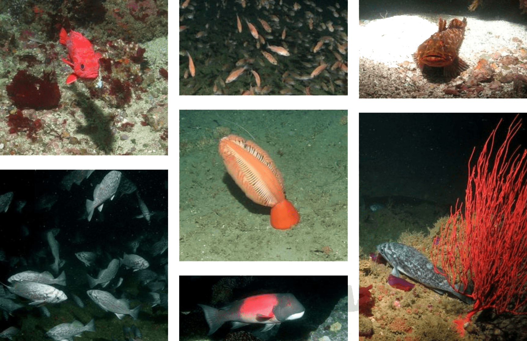
In partnership, the California Department of Fish and Wildlife and MARE cooperatively deployed an ROV from the R/V Shearwater into the deep waters (>20 m) inside and outside of the newly established marine reserves. In 2005, ten sites were permanently selected for monitoring and surveyed annually from 2005-2009, creating the baseline for monitoring change during future ROV surveys. In 2014 and 2015, five years after the initial baseline period, MARE returned to the same ten sites to evaluate changes that have occurred since our baseline surveys. Preliminary results for all seven years of surveys were presented at the Oceans 2016 conference in Monterey, California. Detailed analysis is ongoing, but initial results indicate substantial increases in density for many recreational and commercially important demersal fish species.


