DATA ANALYSIS
Post Processing
NAVIGATIONAL AND VIDEO DATA ANALYSIS
We offer post-survey data processing and analysis. Our in-house software development focuses on streamlining data analysis which reduces overall project costs and processing time. MARE’s highly trained personnel specialize in video and still photographic annotation including benthic habitat classification, species identification (both fish and invertebrate) and precise stereographic size measurements. All species, habitat associations and observations are georeferenced, allowing for visualization of data products and spatial analysis.
VIDEO POST-PROCESSING
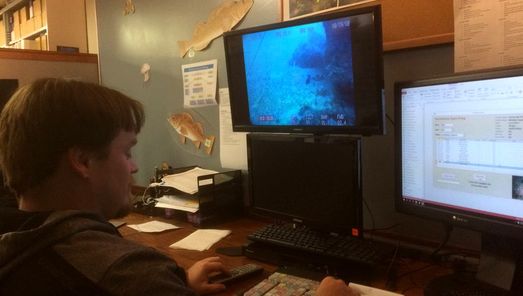
ROV video is analyzed by MARE biologists to identify finfish, macro-invertebrate and habitat features. Each observation is entered into a database, and linked by time code.
MAPPING OBSERVATIONS
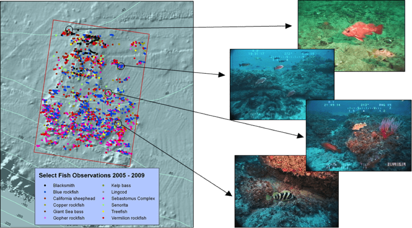
Final data products can be visualized by mapping observations derived from ROV imagery. All observations are geo-referenced allowing scientists to model where organisms are located and what habitat types they are using.
SPATIAL ANALYSIS
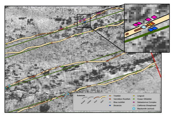
Navigational data is cleaned to remove erroneous points, creating a smoothed transect line over which fish and invertebrate observations can be visualized. This allows scientists to visualize exact locations of observations.
