EXPEDITIONS
At Sea
RECENT EXPEDITIONS
Using our robotic survey fleet to gather information for our research partners, we explore, preform site characterizations, assessments and recovery missions. Learn more about our recent expeditions from the West Coast of the United States to Guam, Hawai’i and the British Virgin Islands.
The Sixth Gulf expedition to collect deep-sea corals and assist with coral restoration in the Gulf of Mexico.
The Fifth Gulf expedition to collect deep-sea corals and assist with coral restoration in the Gulf of Mexico.
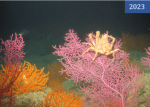
Expedition to locate tar seeps and possible paleoestuaries submerged during the last glacial period among the Channel Islands.
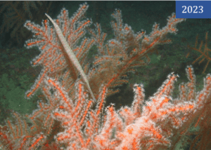
The Fourth Gulf expedition to collect deep-sea corals and assist with coral restoration in the Gulf of Mexico.
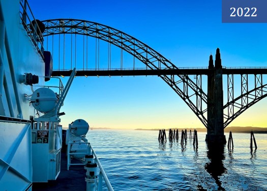
Describing seafloor habitats from Oregon to CA in support of offshore wind energy infrastructure and to survey essential fish habitats (EFH).
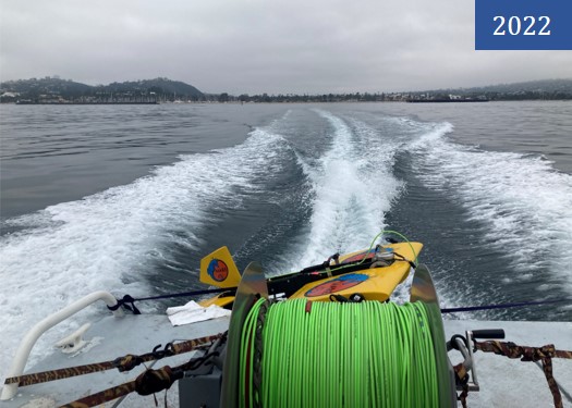
Benthic evaluation of four shell mounds formerly underneath 4H oil rigs off Santa Barbara.
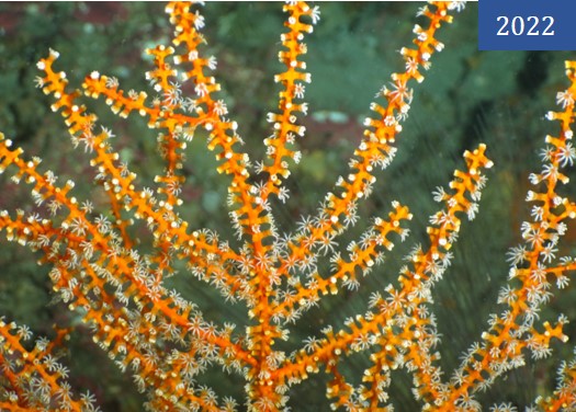
The third Gulf expedition to collect samples to understand the genetic distribution of corals across the Gulf of Mexico.
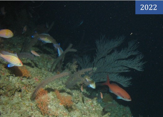
The second Gulf expedition to collect samples to understand the genetic distribution of corals across the Gulf of Mexico.
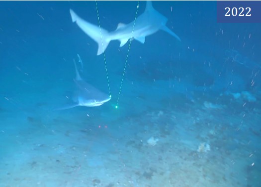
Expedition to collect samples to understand the genetic distribution of corals across the Gulf of Mexico.

Expedition to look for Oculina varicosa coral in a section of the Oculina Habitat Area of Particular Concern off the east coast of Florida.
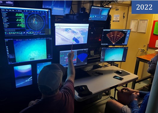
Survey to look for lost World War II United States B-29 bombers in the Northern Mariana Islands.
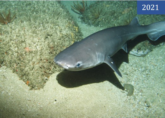
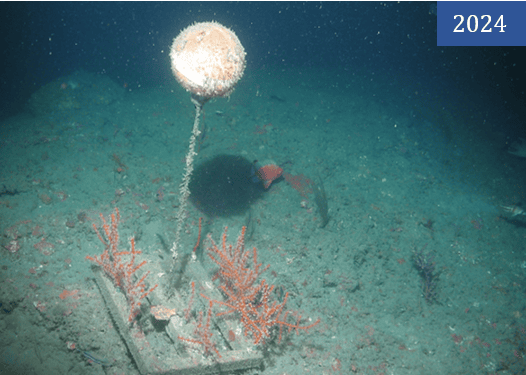
Continued long-term monitoring of California’s Marine Protected Areas from Point Lobos to Point Sur, CA.
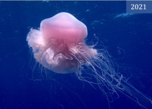
Rapid assessment of coral in the British Virgin Islands looking for signs of Sony Coral Tissue Loss Disease.
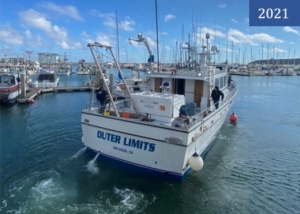
Continued long-term monitoring of California’s Marine Protected Areas from Crescent City to San Diego, CA.
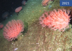
Exploratory expedition with NOAA’s GFNMS & CBNMS, USGS and the Cal Academy to locate deep-sea corals and sponges.
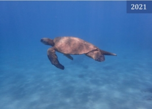
Rapid assessment of targeted marine regions off the coast of Maui, for integration into Hawai’i’s long-term adaptive management plan.
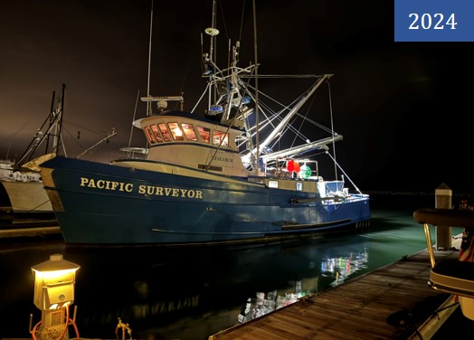
Second year of the long-term monitoring of CA’s MPAs off the R/V Pacific Surveyor from Crescent City to Point Sur.
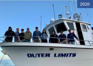
Second year of the long-term monitoring of CA’s MPAs off the F/V Outer Limits from San Diego to the northern Channel Islands.
Exploratory expedition with NOAA’s Olympic Coast NMS to locate deep-sea corals and sponges off the coast of Washington.
First year of the long-term monitoring of CA’s MPAs off the R/V Shearwater from Point Conception to Campus Point, including the northern Channel Islands.
Exploratory survey to locate deep-sea corals and sponges off the northern Channel Islands with NOAA’s CINMS and Monterey Bay Aquarium.
Research expedition from Oregon to California assessing habitats as a part of the West Coast Initiative on Deep Sea Coral and Sponges.
Fall survey to understand the migratory patterns of warty sea cucumbers around Anacapa Island in the northern Channel Islands.
Exploratory expedition with NOAA’s GFNMS & CBNMS, USGS and the Cal Academy to locate deep-sea corals and sponges, map sea floor habitats, and assess essential fish habitats.
Exploratory survey to locate deep-sea corals and sponges off the northern Channel Islands with NOAA’s CINMS and Marine Conservation Institute.
Spring survey to understand the migratory patterns of warty sea cucumbers around Anacapa Island in the northern Channel Islands.
